
Island · Massachusetts
Cape Cod Shirts
About Cape Cod
Cape Cod became an island in 1914 and has acted like one ever since. The canal made the boundary official. You are on the Cape once you clear the Bourne or the Sagamore bridge, and the backup of traffic behind you is part of the ritual.
Glaciers did the shaping and left thin soil behind. Kettle ponds, sand plains, salt marsh, and the cranberry bogs that still turn Harwich and Brewster red in October. Two roads divide the Cape. Route 6A takes the bay side slowly through Sandwich, Barnstable, Yarmouth, and Dennis. Route 28 takes the southern shore fast, past Falmouth and Mashpee.
Everything changes at the elbow. Chatham and Orleans catch the open Atlantic, and from Eastham up through Wellfleet and Truro the shoreline belongs to the Cape Cod National Seashore, protected since 1961, which is why the dunes are still dunes.
On the shirt
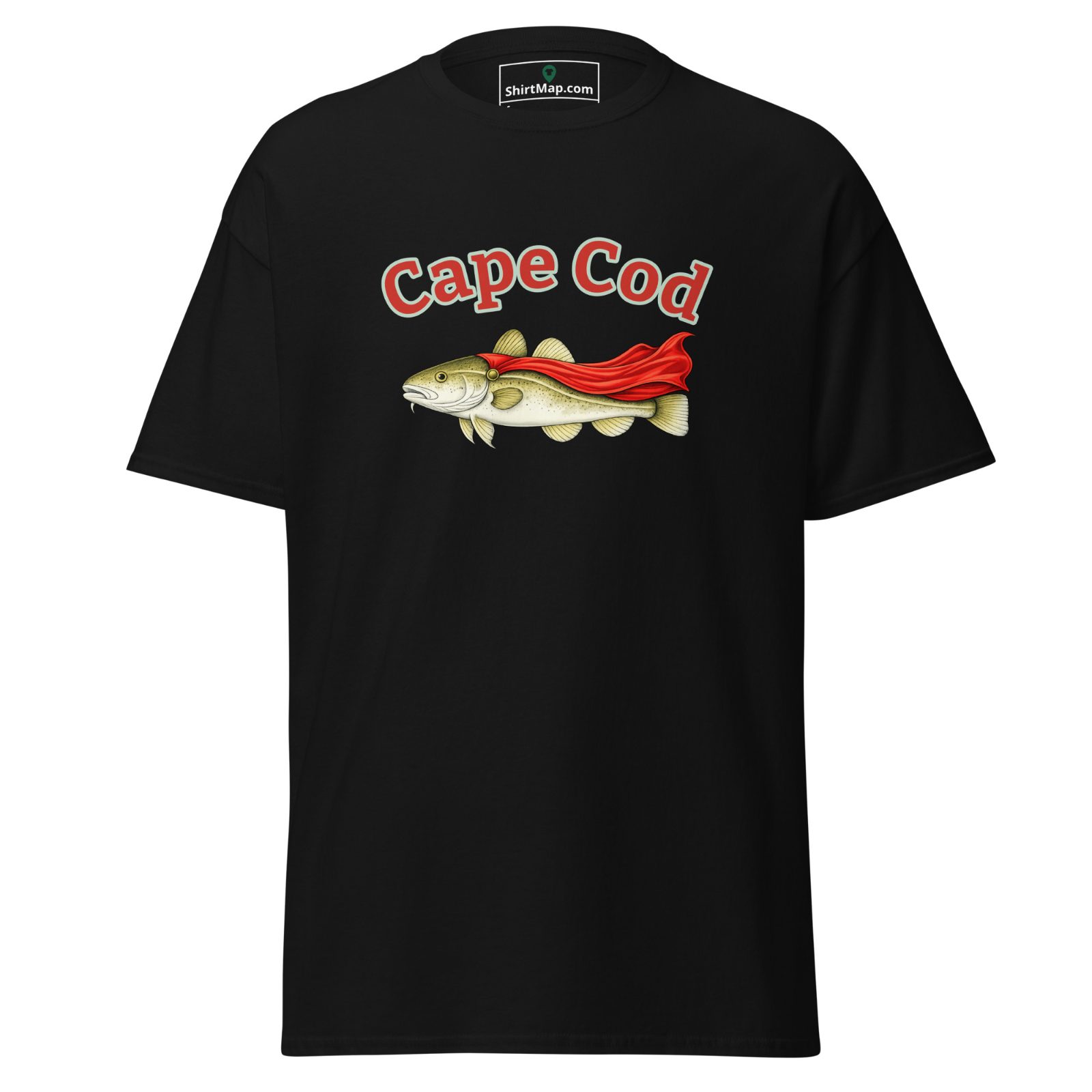
Our featured Cape Cod shirt takes the name literally. A cod in a red cape, a Caped Cod, if you will. It is a fitting mascot for a place with a shape, personality, and sense of independence all its own.
Shirts from Cape Cod towns
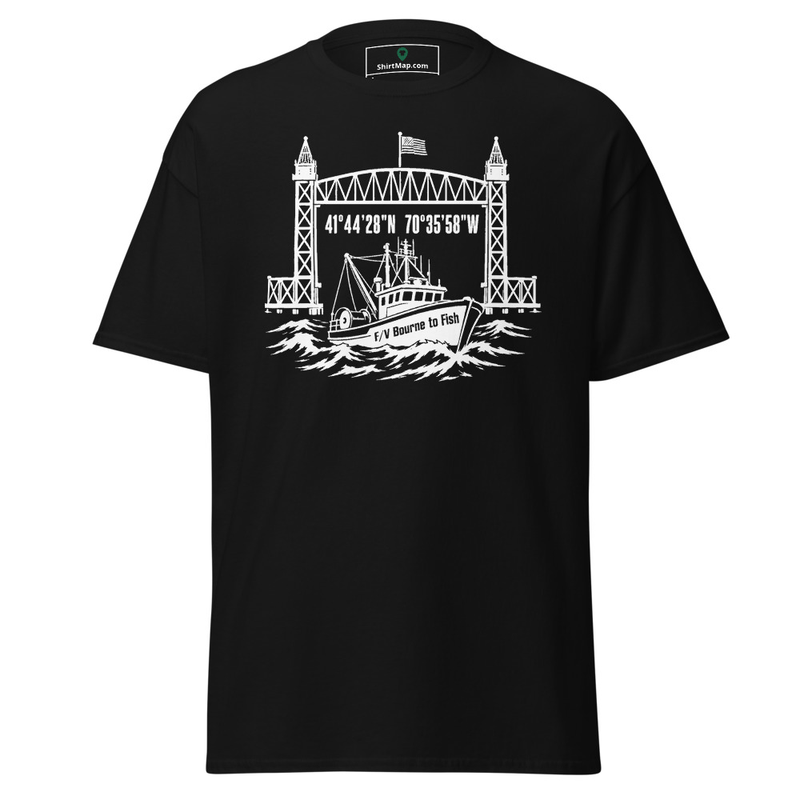
Bourne, MA
F/V Bourne to Fish Train Bridge Tee | Bourne, MA
ShirtMap hometown tee
$20.00

Sandwich, MA
Seagull Thief at Sandwich Boardwalk | Sandwich, MA
ShirtMap hometown tee
$20.00

Dennis, MA
Flock of Seagulls Tee
MOCEAN Surf Co.
$30.00
Orleans, MA
Classic Logo Men's Tri-Blend T-Shirt
Nauset Surf Shop
From $27.99
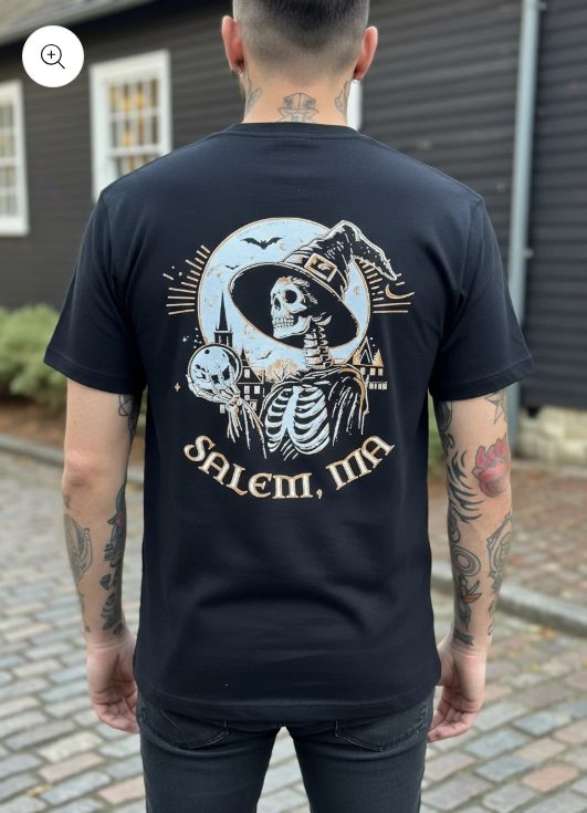
Sandwich, MA
Salem Short-Sleeve Tee
Apothecary 51
$28.00
Wellfleet, MA
Comber Building Tee
The Wellfleet Beachcomber
$30.00
Cape Cod on the map
ShirtMap
4 approved shirts, 2 hometown tees and 1 region shirt. Zoom in to explore by area